Geologic Exploration — Epithermal and other systems
VOLCANIC AND EPICLASTIC FACIES ANALYSIS AND HYDROTHERMAL ALTERATION
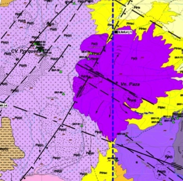
Field data acquisition, volcanic facies analysis in epithermal and other systems at different scales
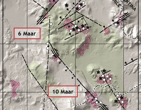
Geologic and geochronologic studies in volcanic/subvolcanic systems
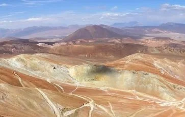
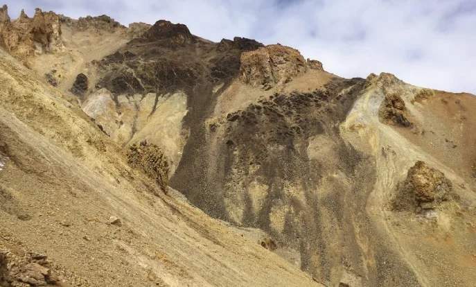
Field reconnaissance, zoning and interpretation of hydrothermally altered areas
Preliminary surface geotechnical characterization
G3 data integration and interpretation (volcanic/subvolcanic systems-structures-hydrothermal alteration)
MODELLING
Integrated geologic models for epithermal systems (structural, volcanic, tectonic and hydrothermal alteration data)
TECHNICAL SUPPORT
Exploration strategies support
Geologic and geochronologic analysis of epithermal and other systems affected by hydrothermal alteration
1b
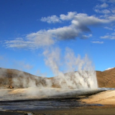
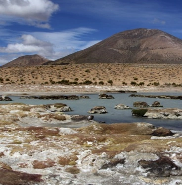
Geologic Exploration — Geothermal systems
FIELD DATA ACQUISITION AND ANALYSIS
Geologic and structural field studies at different scales (regional and district-based)
Field sampling for different lab analyses (geochronology, geochemistry, water chemistry, hydrothermal alteration, surface geochemical features)
G3 (geology, geochemistry and geophysics) data integration and interpretation
MODELLING
Geologic models
Integrated G3 models
Geoscientific support for defining exploration drilling targets
TECHNICAL CONSULTANCY
Exploration strategies design
Technical support for report presentation to government authorities
1c
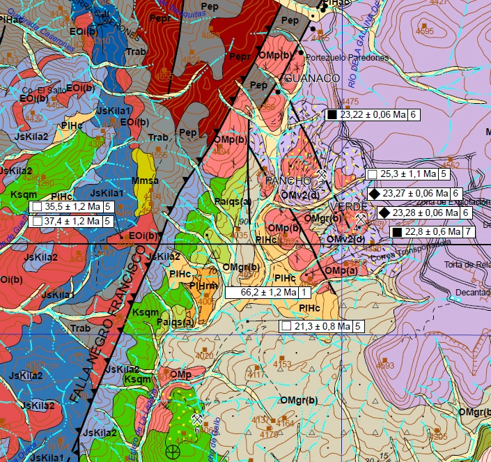
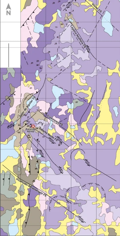
Regional and district mapping
REGIONAL AND DISTRICT MAPPING
Geologic and Structural field data acquisition
Geochronologic, geochemical and petrological field sampling
Data analysis and interpretation
Digital maps, cross sections and interpretative figures production
MODELLING
Geologic-structural evolution models
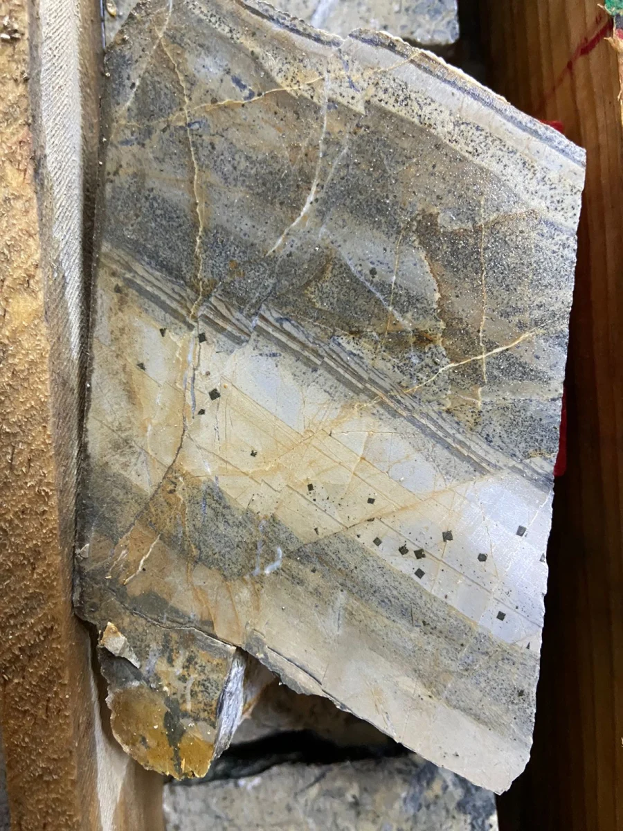
MICROSCOPIC PETROGRAPHY
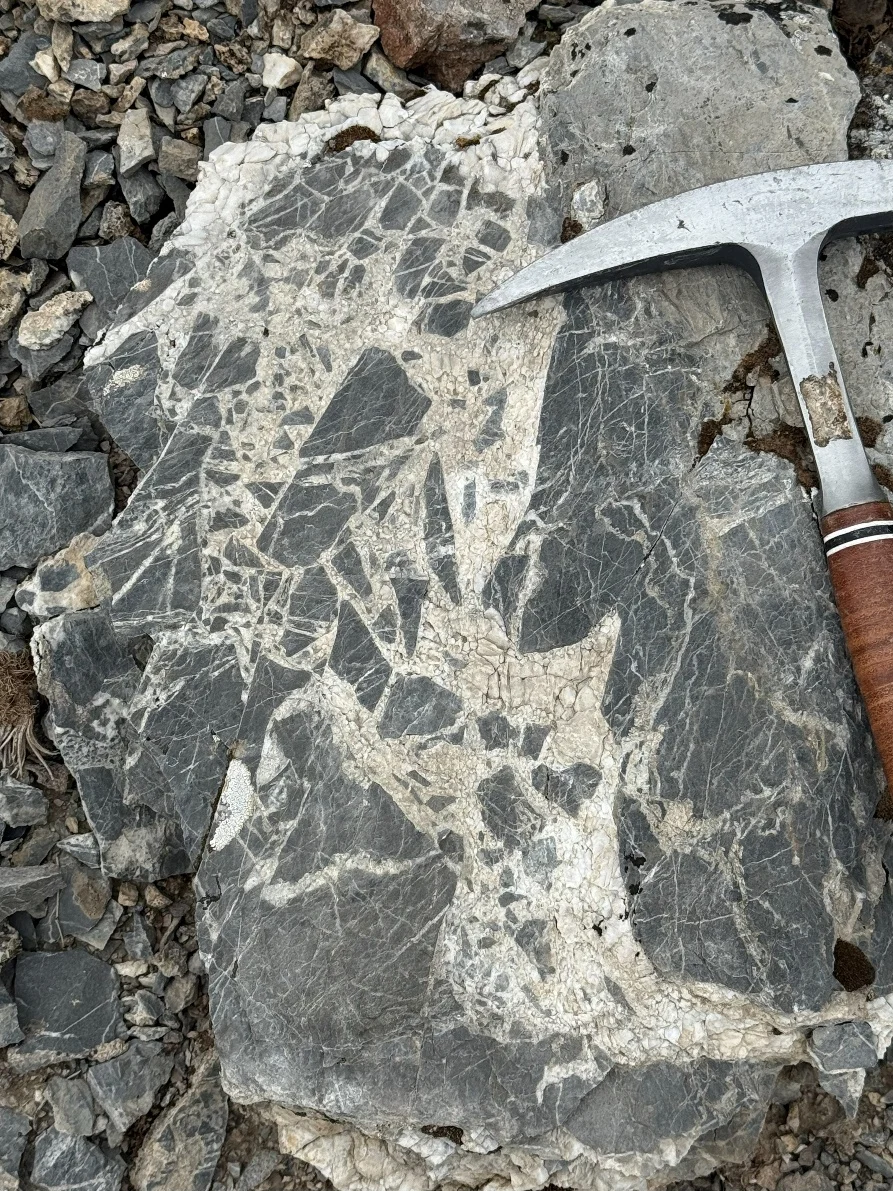
As a complement to the projects we carry out in district and regional geology, stratigraphy and geochronology in volcanic environments, as well as in support of natural resource exploration, we offer detailed microscopic description of fresh and/or hydrothermally altered rocks. We place special emphasis on primary volcanic, subvolcanic and volcaniclastic textures to recognise types of tuffs and breccias, as well as their relevance in controlling hydrothermal fluids.
TECHNICAL SUPPORT
Sample management for petrography, geochemistry and geochronology studies
2
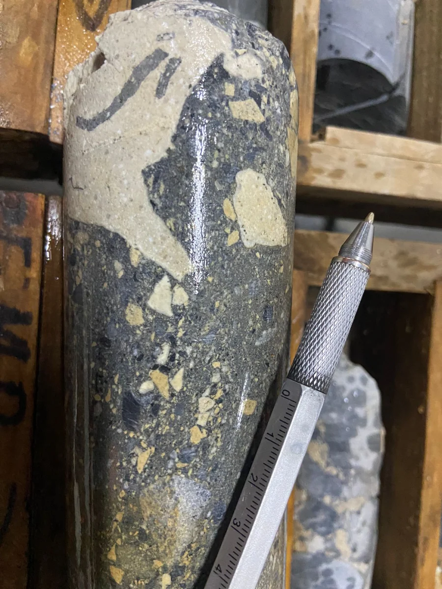
Drill Core Review and Logging
DRILL CORE REVIEW AND LOGGING
Support in drill core review and/or logging
Definition of logging codes based on the geology and stratigraphy of each project
SUBSURFACE LITHOLOGIES AND FACIES
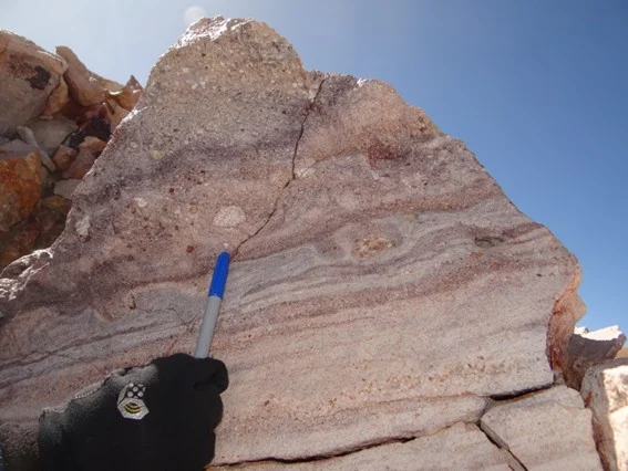
Recognition of volcanic, subvolcanic and epiclastic lithologies and facies
Subsurface distribution of units, focusing on their variations
Control of the units on the alteration and/or mineralization of the prospect or deposit
3
Environment and Climate Change
FIELD DATA ACQUISITION AND ANALYSIS
Geologic and structural field studies at different scales for Environment baselines
Geologic, geomorphologic, hydrogeologic and geologic hazard studies for SEIA (Environmental Impact Evaluation System)
LAND-USE PLANNING TECHNICAL SUPPORT
Support in Geology, Geologic resources (mining, hydro and energy) and Geologic Hazard for land-use planning
Technical assistance to Local communities on geology and georesources
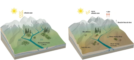
CLIMATE CHANGE
Climatic models
Impact of Climate Change in geologic hazards
Modelling and zoning of geologic hazards in Climate Change conditions
4
Geologic Hazards
FIELD DATA ACQUISITION AND ANALYSIS
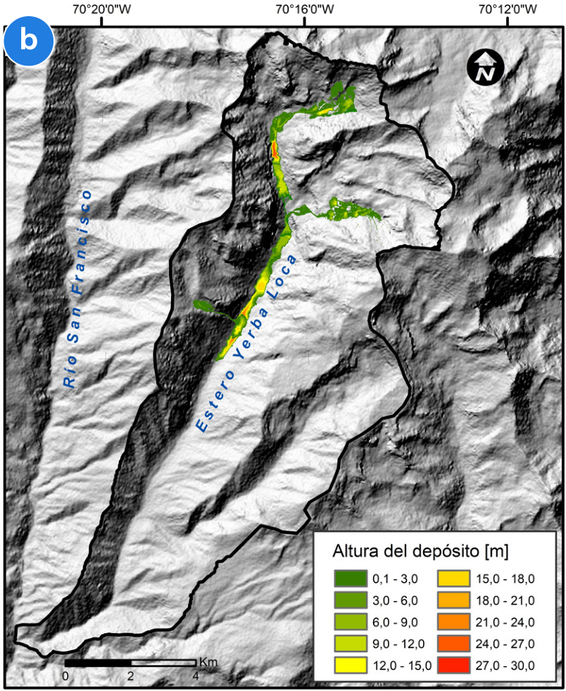
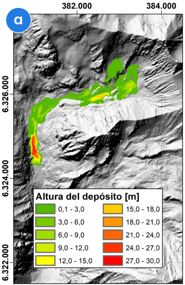
Geologic hazard field studies and data acquisition at different scales and geologic hazard zoning
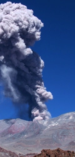
Geologic hazard studies: landslides, geomorphogic, volcanic, tsunamis, etc.
Susceptibility and hazard studies (maps, inventories, modelling)
MONITORING AND EMERGENCY PLANS FOR GEOLOGIC HAZARDS
Monitoring plans design and implementation (landslides, volcanic, seismic, and others)
Design and implementation of Emergency Plans for geologic hazards (Early Warning)
5
Training and Capacity Building
VOLCANOLOGY APPLIED TO EXPLORATION
Training of technical teams in Volcanology Applied to Exploration and Volcanic Facies Analysis
Relevance of facies to understand permeability and the distribution of units
Units that may have controlled hydrothermal fluid flow and ore mineral deposition
OFFICE, FIELD AND IN-HOUSE WORKSHOPS
Office and field training, often supported by drill core information
In-house workshops tailored to the characteristics of each project and client
Experience in volcanic and subvolcanic settings in the Andes (Chile, Peru and Argentina) and North America